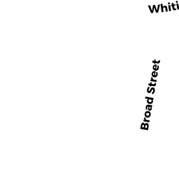
262 BROAD ST
Owner Information
POLYMETALLURGICAL CORPORATION
262 BROAD ST
N ATTLEBORO, MA 02760


Property Details
262 BROAD ST is classified as a Buildings for manufacturing operations (Mill bldg).
The primary structure on this property was built in 1802. There are 94,265ft2 of built area within this property. There is 93,270ft2 of residential/living space within this property.
262 BROAD ST is valued at $1,247,400. The land is valued at $899,400 and the structures are valued at $322,900. There is an additional valuation of $25,100 on this property.
This property is in Zone IC30. Confirm with local Zoning Board authorities to ensure there are no overlays or other easements on this property.
The most recent deed for 262 BROAD ST is recorded at the local registrar in Book 11517, Page 0148. 262 BROAD ST was last sold on Wednesday, January 22, 2003 for $10.
Assessment data from fiscal year 2022.
Flood Data
This property is partially within the AE Zone (within floodplain). Approximately 3.81 acres (58.28%) of the property is within this zone.
A portion of this property is denoted as being within a floodway.
This information is sourced from the FEMA National Flood Hazard Layer. See our full disclamer.
Broadband Internet Providers
| Provider | Type | Bandwidth (mbps) | |
|---|---|---|---|
| Viasat Inc | Satellite | 100 | 3 |
Broadband service provider data from December 2020.
Adjacent Properties
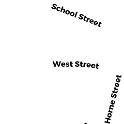
- 79 WEST ST
Single Family Residential owned by MEYER ERIC R - 87 WEST ST
SFR WATER owned by DEGGENDORF ROBERT L + NOLA SHERRI - 143 WEST ST
Single Family Residential owned by ANDERSON MARTIN A + KATHLEEN M - 583 BROADWAY EXT
SFR WATER owned by HOLDGATE ROBERT F + DANIELLE TRS - 51 SCHOOL ST
Single Family Residential owned by BRUCE DONNA - BROAD ST REAR
Undevelopable Residential Land owned by POLYMETALLURGICAL CORPORATION - BROAD ST
Land - integral part of manufacturing operation owned by POLYMETALLURGICAL CORPORATION - BROADWAY EXT OFF
CONSERVATION owned by INHABITANTS OF TOWN OF NORTH ATTLEBOROUG - WHITING ST
CONSERVATION owned by INHABITANTS OF TOWN OF NORTH ATTLEBOROUG - WEST ST REAR
AC LND IMP MDL-00 owned by FITTON JEREMY L - 67 SCHOOL ST
Two-Family Residential owned by HENRY WILLIAM P JR + JENNIFER - 73 SCHOOL ST
Single Family Residential owned by SKINNER JUDITH A